Google added its Nano Banana image-generation feature to Google Earth on July 30, 2026, and removed it less than a day later. In between, users had generated convincing satellite-style images of events that never happened: a blast crater in Los Angeles, a flooded U.S. Capitol, a fire on Iran's Kharg Island, a collapsed Eiffel Tower, a sinkhole at the Great Pyramid, Russian tanks in Kyiv. None of these were real. The speed of the reversal is the least interesting part of the story. The interesting part is why placing a capable image generator inside a mapping product was a different kind of decision than placing one inside a chat app, and what that difference says about where generative AI collides hardest with trust.
Why the product context changed everything
The same model behaves very differently depending on the surface it sits behind. In a chat app or a creative tool, an AI-generated image arrives with an implicit label: the user knows they asked a machine to invent something, and so does anyone they show it to. The context signals fiction. Google Earth is the opposite kind of surface. It is not primarily a canvas; it is a record. Researchers, journalists, open-source investigators and even courts treat its high-resolution satellite imagery as evidence of what the world actually looks like at a given place and time.
 Google
Drop a generator into that context and the implicit label inverts. An invented image of a flooded Capitol, rendered in the same visual language as authentic satellite data and sitting inside the same trusted product, no longer signals fiction. It borrows the credibility of the archive around it. That is the core of what went wrong: the problem was not that the model produced fabrications, which every image generator can do, but that it produced them inside the one product whose entire value rests on being a faithful record.
A one-day feature, in five steps
The reversal was fast. The trust question it raised is not resolved.
- Jul 30, 2026Feature launchesNano Banana image generation goes live inside Google Earth.
- Within hoursFabrications spreadUsers generate satellite-style images of disasters in real places that never happened.
- Jul 31, 2026Google pulls itThe feature is removed less than a day after launch over misinformation concerns.
- After the pullWatermark gap surfacesSynthID, meant to flag AI content, is reported bypassable in some cases by BBC Verify testing.
- OpenReinstatement unresolvedGoogle says the feature returns only after stronger guardrails, with no timeline given.
The watermark that was supposed to help
Google's answer to AI-image misuse has been SynthID, an invisible watermark meant to mark content as AI-generated so it can later be detected. The Nano Banana episode exposed the limits of relying on that defense alone. According to testing reported by BBC Verify, the watermark was bypassable in some cases, meaning a fabricated image could be stripped of the very signal designed to flag it. Once that happens, the image is indistinguishable from an authentic one to anyone without forensic tools.
The problem was not that the model produced fabrications. It was that it produced them inside the one product whose entire value rests on being a faithful record.
On why the surface mattered more than the model
This is worth stating carefully, because watermarking is genuinely useful and the point is not that it is worthless. The point is that a watermark is a detection aid, not a containment mechanism. It helps responsible platforms label content they control; it does nothing about an image that has been screenshotted, re-encoded, or run through a tool that removes it. Any trust model that depends on a watermark surviving contact with the open internet is depending on the wrong thing. Provenance that travels with an asset only works if it cannot be trivially separated from it, and today, for images, it usually can be.
The tension that has no clean resolution
It would be easy to read this as a simple story of a company moving too fast, and there is truth in that. But the underlying tension is real and does not disappear with more caution. There is genuine user demand for creative and exploratory tools inside mapping products, from visualizing a redesigned streetscape to imagining a landscape in a different season. Those uses are legitimate and valuable. The same capability that serves them is the capability that fabricates a disaster. You cannot fully separate the helpful version from the harmful one at the level of the model, because they are the same function pointed at different prompts.
That is why the meaningful controls are almost never in the model and almost always in the surrounding system: what a product lets users generate, how clearly generated content is marked at the point of display, whether outputs can be exported in a way that strips their context, and how quickly a platform can intervene when misuse appears. Google's ability to pull the feature within a day is the one genuinely reassuring detail in the episode, because it shows the intervention layer worked even though the preventive layer did not. The reinstatement question, which Google has left open pending stronger guardrails, is really a question about whether those system-level controls can be made robust enough to reintroduce the capability safely.
The wider lesson beyond one feature
The Nano Banana reversal is a small event with a large moral. As image and video generation get better, the scarce resource is not the ability to make a convincing picture; that is becoming free and universal. The scarce resource is verified provenance, a trustworthy answer to the question of where an image came from and whether it depicts something real. Products that carry authority, mapping archives, news photo libraries, evidentiary records, will increasingly have to treat that question as a first-class design problem rather than an afterthought bolted on with a watermark.
For anyone building with generative models rather than shipping them, the practical discipline is the same regardless of which model is used: keep human-authored and machine-generated content clearly separated, preserve provenance that cannot be silently stripped, and never let generated output inherit the credibility of a trusted source by accident. That discipline is model-agnostic, which is also the posture platforms like Metir AI take toward the models themselves. Being able to swap models freely does not exempt anyone from the harder work of knowing, and proving, what is real.
The takeaway
What is verifiable is that Google added Nano Banana to Google Earth, users generated realistic images of disasters in real places that never occurred, the watermark meant to flag such content proved bypassable in testing, and Google pulled the feature within a day and has not committed to a return date. The episode is not really about one company or one tool. It is an early, contained example of the defining problem of generative media: when anyone can produce a convincing picture of anything, trust migrates from the image itself to the provenance behind it, and the products that hold authority are the ones that have to solve for that first.
Sources:
- Google pulling Nano Banana from Google Earth after one day shows how bad our AI misinformation problem has got | TechRadar
- Google Earth Pulls Nano Banana After Users Create Offensive Images | Newsweek
- Google Earth: Nano Banana blocked due to AI misinformation | Technoid
- Google Earth AI Removal Sparks Misinformation Concerns | The Cryptonomist
Image credits
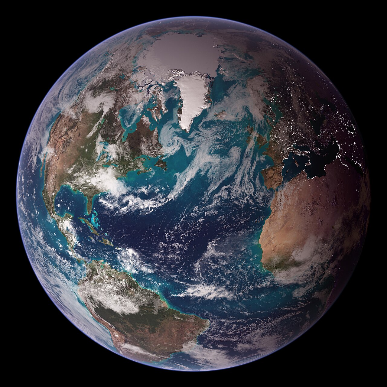
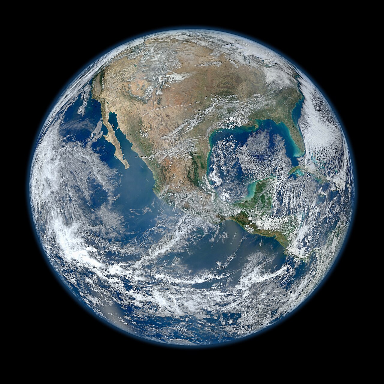
Header image: NASA's Blue Marble composite of Earth, via Wikimedia Commons, a public-domain NASA work. In-body satellite view of Earth over North America from the Suomi NPP satellite, via Wikimedia Commons, a public-domain NASA work. Both images were reviewed before use.